
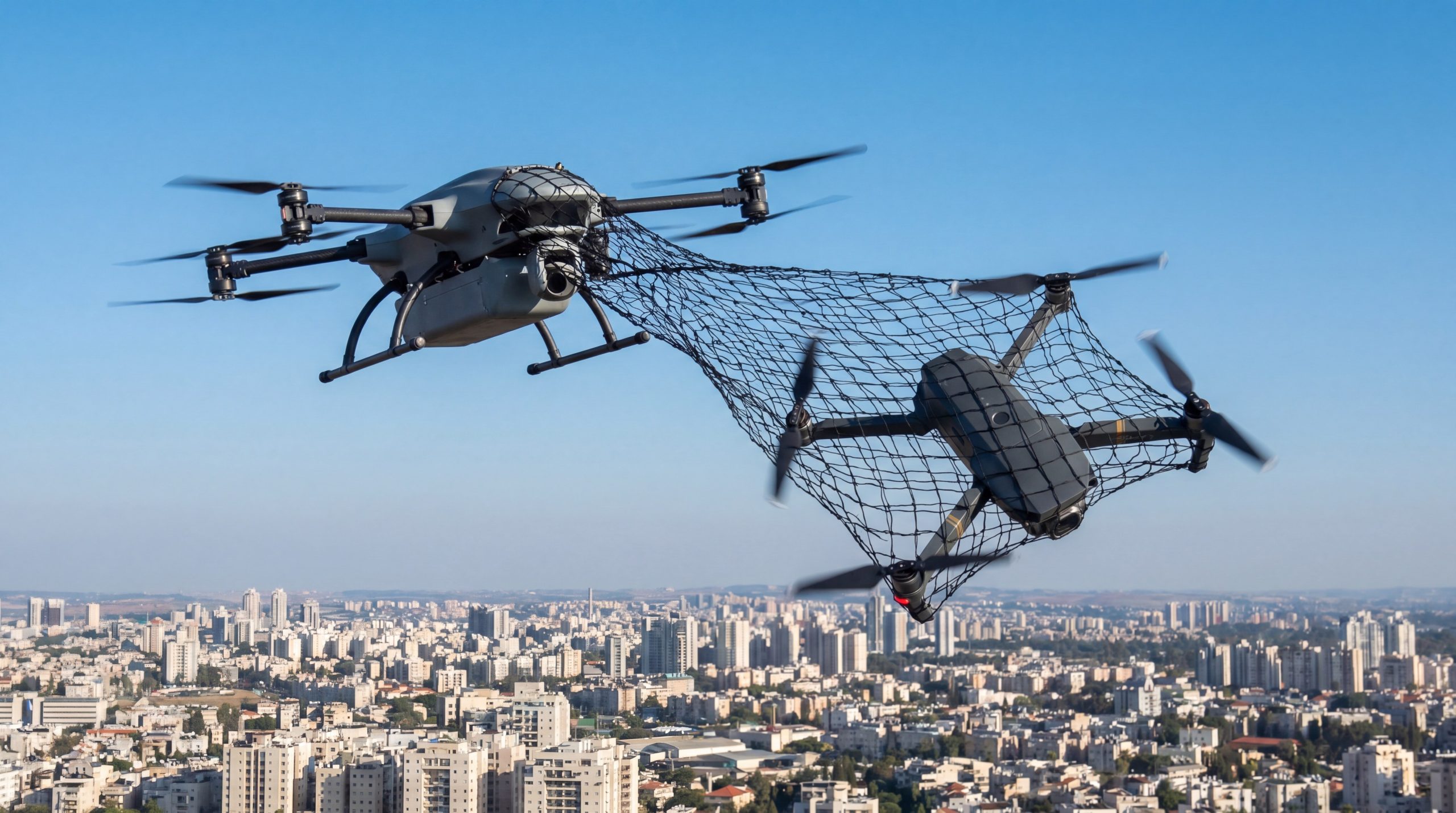
IRIS supports Special Operations Forces by providing high-speed, 3D radar detection and classification that allows operators to outpace evolving aerial threats. You are moving through a dense urban corridor when the faint buzz of a propeller echoes from above. Without immediate warning, your team is exposed to lethal surveillance or a kinetic strike from a weaponized quadcopter. Deploying advanced Drone Jammers requires precision timing that only a specialized radar like IRIS can provide.
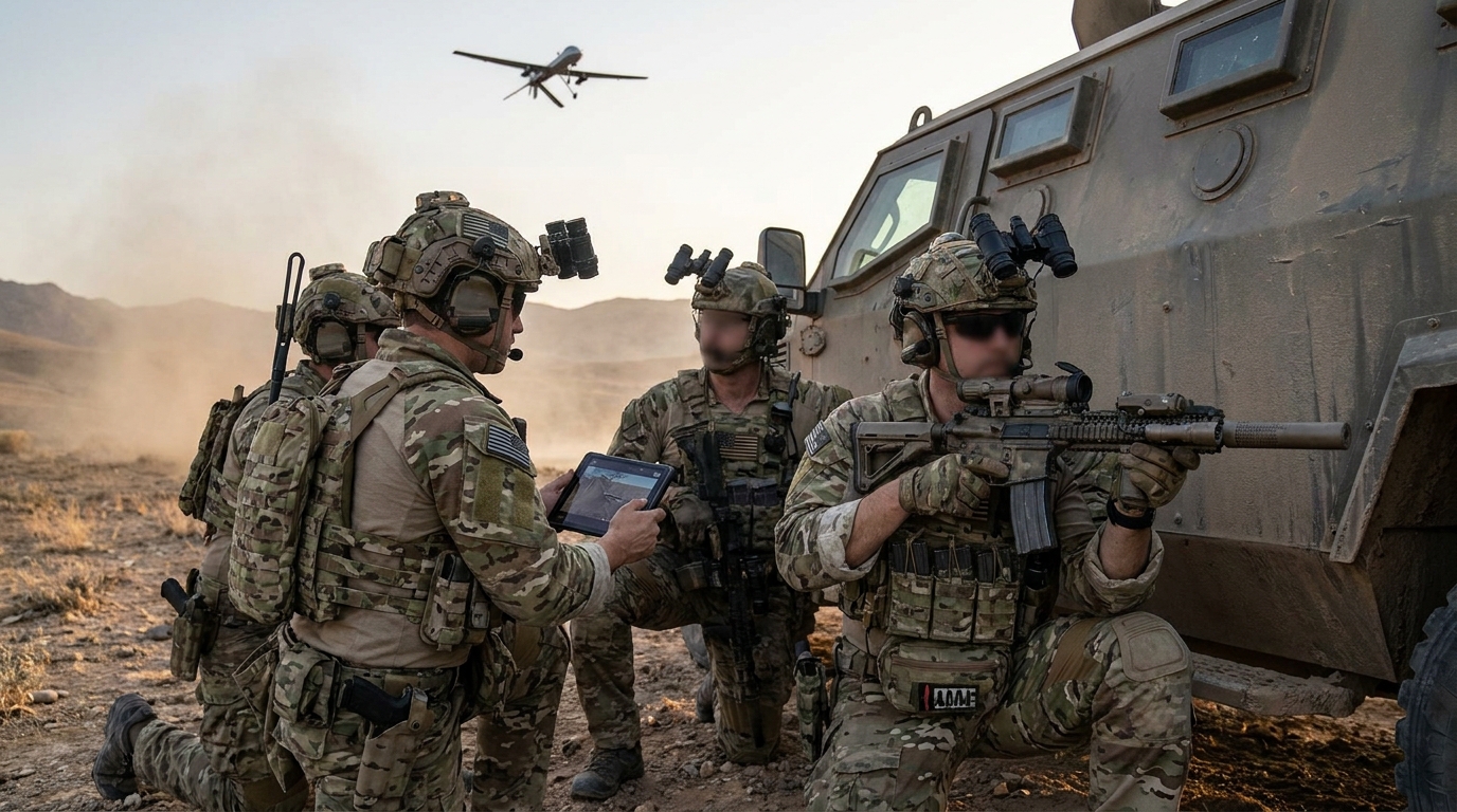
Why is speed the ultimate factor in SOF survival?
Speed is the ultimate factor because it dictates the length of the decision window between initial detection and successful neutralization. When you are operating in contested environments, the appearance of a drone often signals an imminent attack or artillery adjustment. You need the ability to identify these threats and activate Drone Jammers before the enemy can act.
Managing compressed engagement timelines
The reality is that modern combat moves faster than manual observation can track. Here is the kicker: automated radar systems bridge the gap between human limitation and digital speed. You must leverage technology that alerts you the moment a target enters your instrumented range.
- Early Warning: Extends the tactical buffer for defensive positioning.
- Rapid Classification: Filters out environmental noise in seconds.
- Target Prioritization: Focuses on the most immediate kinetic threats.
Key Takeaway: Speed provides the essential buffer needed for SOF units to move from a reactive posture to a proactive defense.
How does IRIS improve situational awareness?
IRIS improves awareness by delivering a real-time, 360-degree view of the airspace that integrates seamlessly with portable Drone Jammers. By combining long-range detection with high elevation coverage, it ensures that no threat can approach undetected from above. You gain a comprehensive digital map of your surroundings, allowing for better strategic positioning and threat management.
Eliminating vertical blind spots
Think about it: most traditional sensors fail when a drone approaches from a high angle. 3D radar technology solves this by mapping the entire volume of the sky rather than just a flat plane. This ensures that even hovering or high-altitude threats are constantly tracked.
- Volumetric Scanning: Covers 360° azimuth and 60° elevation simultaneously.
- Precision Coordinates: Provides exact altitude and distance for every target.
- Dynamic Updating: Refreshes tracks at high frequencies to maintain lock.
Key Takeaway: Comprehensive 3D coverage eliminates the “dome of vulnerability” that often exists above ground-based units.
| Feature | Impact on SOF | Tactical Benefit |
|---|---|---|
| 360° View | No Blind Spots | Total Perimeter Security |
| 60° Elevation | Vertical Tracking | High-Angle Defense |
| 3D Mapping | Precise Data | Efficient Jammer Aiming |
The transition from 2D to 3D visibility is the difference between a partial view and total airspace dominance.
What makes classification vital for field operations?
Classification is vital because it ensures you engage hostile targets rather than birds or friendly assets. In complex field environments, the sky is filled with clutter that can trigger false positives and distract your team from real danger. You need the ability to distinguish a mechanical signature from a natural one instantly.
Reducing the cognitive load on operators
Look at the facts: an overloaded operator is more likely to make a critical error during a contact. IRIS uses Deep Neural Networks to handle the heavy lifting of identification automatically. This means your team can focus on the mission instead of staring at raw radar returns.
- Micro-Doppler Analysis: Detects the specific rotating parts of a drone.
- Behavioral Filtering: Identifies flight patterns unique to hostile UAVs.
- Automated Alerts: Signals only when a confirmed threat is detected.
Key Takeaway: Intelligent classification acts as a force multiplier by ensuring that only real threats receive your tactical attention.
| Capability | Basic Radar | IRIS DNN System |
|---|---|---|
| Target Identification | “Unknown Object” | “DJI Mavic / Fixed Wing” |
| Clutter Rejection | Low | Exceptionally High |
| Operator Effort | High Manual Review | Automated Verification |
Advanced classification ensures that your resources are never wasted on non-threats.
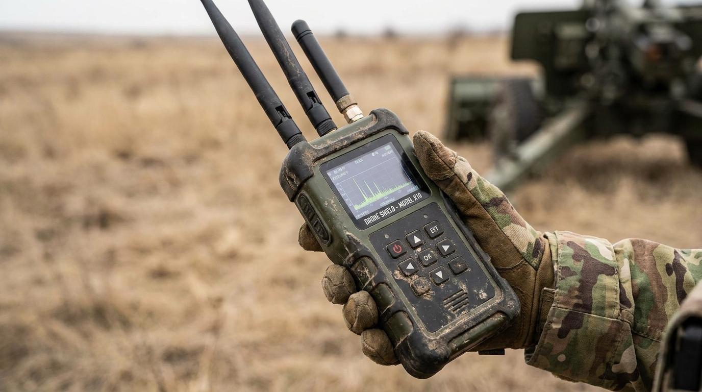
Can portable systems match fixed-site performance?
Yes, because portable systems like IRIS leverage Deep Neural Networks to maintain high sensitivity regardless of the Drone Jammers configuration. You no longer have to sacrifice detection range or accuracy when moving into expeditionary environments. The system is designed to pack down quickly and deploy on standard mounts or vehicles without losing fidelity.
Portability for expeditionary missions
Believe it or not, the entire radar unit weighs only 64 lbs, making it manageable for small teams. This allows you to bring high-end radar protection into remote areas where infrastructure is non-existent. You can establish a protected perimeter in under 15 minutes.
- Lightweight Build: Optimized for rapid transport in small vehicles.
- Quick Mount System: Designed for immediate setup on various platforms.
- Ruggedized Casing: Survives the harshest weather and terrain conditions.
Key Takeaway: True portability means your defense is as agile as your operations, moving wherever the fight takes you.
| Deployment Type | Setup Time | Unit Weight |
|---|---|---|
| Stationary Base | Hours | 500+ lbs |
| IRIS Portable | 15 Minutes | 64 lbs |
| Tactical Vehicle | Near-Instant | Integrated |
Mobile units can now carry the same level of protection previously reserved for permanent military installations.
Why do units need 3D radar for drone defense?
Units need 3D radar to obtain precise altitude and azimuth data required for effective counter-UAS strategies. Without the vertical component, you are essentially guessing the height of an incoming threat, which makes it nearly impossible to direct Drone Jammers effectively. 3D data provides the “z-axis” necessary for a complete tactical picture.
Tracking threats in complex terrain
The reality is: drones love to hide in the vertical clutter of urban or mountainous environments. 3D radar separates the ground from the air, allowing you to see drones hovering near buildings or ridges. This prevents the adversary from using the terrain to mask their approach.
- Ground Clutter Rejection: Filters out stationary objects with high precision.
- Multi-Level Tracking: Sees targets at different altitudes simultaneously.
- Coordinate Export: Feeds precise data to targeting and C2 systems.
Key Takeaway: 3D radar turns a flat map into a volumetric battlefield, giving you the high ground in every engagement.
| Dimension | 2D Radar | 3D Radar (IRIS) |
|---|---|---|
| Latitude/Longitude | Provided | Provided |
| Target Altitude | Not Available | Precise Data |
| Speed/Velocity | Estimate | High-Accuracy Calculation |
Acquiring the vertical dimension is the final step in achieving total situational awareness in the field.
How does IRIS support “On the Move” capabilities?
IRIS supports mobile operations by utilizing advanced motion compensation algorithms that permit detection while your team is maneuvering with Drone Jammers. Staying stationary in a modern combat zone is a recipe for disaster. You need a shield that stays active while you are driving through rugged terrain or urban streets.
Enhancing resilience during transit
Here is the deal: a moving target is much harder to hit, and a moving radar is harder to locate. By maintaining surveillance while traveling at speeds up to 62mph, you ensure that your team is never vulnerable during extraction or rotation. The system adjusts for the vehicle’s movement to maintain a clear picture of the sky.
- Dynamic Calibration: Compensates for vehicle vibrations and turns.
- Constant Perimeter: Maintains a 5km detection bubble around the convoy.
- Stealth Advantage: Harder for the enemy to zero in on a mobile sensor.
Key Takeaway: On-the-move capability ensures that your tactical advantage is never paused during high-tempo maneuvers.
| Maneuver | Standard Radar | OTM-Enabled IRIS |
|---|---|---|
| Convoy Travel | Offline | Fully Active |
| Rapid Relocation | Setup Required | Immediate Tracking |
| Urban Transit | No Coverage | Constant Surveillance |
Staying mobile while keeping the sky under surveillance is the ultimate survival tactic for modern SOF units.
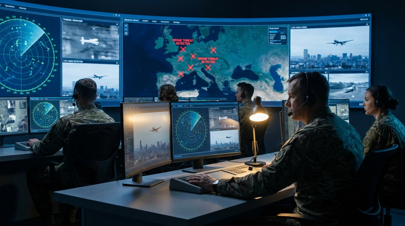
Can IRIS effectively counter massive drone swarms?
IRIS counters swarms by tracking hundreds of individual targets simultaneously, preventing defensive saturation. A single drone is a nuisance, but a coordinated swarm is designed to overwhelm your human senses and your technical defenses. You need a processor capable of maintaining hundreds of unique tracks without lagging or dropping data.
Managing multi-target saturation
Think about it: a swarm attacks from multiple vectors to confuse your response. IRIS identifies each individual drone, providing the distinct coordinates needed to coordinate your defensive fire or electronic countermeasures. This allows you to neutralize the most dangerous elements of the swarm first.
- High Track Capacity: Manages over 100+ simultaneous drone tracks.
- Vector Analysis: Determines which targets are on a collision course.
- Swarm Identification: Recognizes coordinated movement patterns.
Key Takeaway: Handling a swarm requires high data throughput; IRIS provides the clarity to manage chaos.
| Scenario | Tracking Limit | Response Capability |
|---|---|---|
| Single Target | 1-5 | Focused |
| Dense Swarm | 100+ | Coordinated |
| Multi-Vector Attack | Simultaneous | Distributed |
The ability to track an entire swarm ensures that no single drone can slip through the gaps of your defense.
What are the benefits of low false-alarm rates?
Low false-alarm rates preserve tactical focus and prevent your team from wasting Drone Jammers power on non-threatening objects. When a system frequently alerts on birds or wind-blown debris, operators become desensitized. This “alarm fatigue” is dangerous because the one real threat might be ignored.
Maintaining trust in sensor data
Bottom line: your team must believe the system when it says there is a threat. By significantly reducing false positives through refined DNN models, the radar ensures that an alert is always a call to action. This high-fidelity data allows for decisive engagement without hesitation.
- Confidence Score: Provides a percentage-based reliability for every track.
- Noise Reduction: Specifically tuned to ignore common biological clutter.
- Battery Preservation: Ensures jammers are only triggered for real UAVs.
Key Takeaway: Reliability is the foundation of trust; a low false-alarm rate keeps your team sharp and ready.
| Metric | High False-Alarm System | Low False-Alarm System |
|---|---|---|
| Operator Readiness | Low (Fatigued) | High (Alert) |
| Mission Distraction | High | Minimal |
| Resource Waste | Frequent | Rare |
Minimizing false positives is essential for maintaining a high state of tactical readiness throughout a mission.
Why is integration essential for the modern SOF kit?
Integration is essential because it allows the radar to act as the primary “eyes” for a unified detect-and-defeat ecosystem. In the heat of battle, you do not have time to manually transfer coordinates from a radar screen to your weapon systems. You need a “slew-to-cue” capability that automatically points cameras and Drone Jammers at the threat.
Creating a seamless defense network
The reality is: information must move faster than the threat. By using open APIs and standard protocols, IRIS connects directly to your existing command and control software. This creates a closed-loop system where detection leads to automated or semi-automated defeat.
- Automated Response: Triggers countermeasures the moment a drone is classified.
- Slew-to-Cue: Points thermal and optical sensors at the target instantly.
- Shared Awareness: Broadcasts drone locations to the entire tactical team.
Key Takeaway: Integration turns individual components into a cohesive shield that operates at the speed of software.
| Integration Level | Manual Process | Automated Ecosystem |
|---|---|---|
| Data Transfer | Voice/Manual Entry | High-Speed Digital Feed |
| Response Time | Seconds/Minutes | Milliseconds |
| Error Rate | Human-Dependent | System-Controlled |
A connected defense network is the only way to effectively counter the rapid innovation of modern drone warfare.
How do software updates future-proof your defense?
Software updates future-proof your defense by enabling the radar to learn and adapt to new, commercially available drone threats. The drone market changes every few months, with new models featuring different flight profiles and signatures. Rather than buying new hardware, you can simply update the “brain” of your radar to stay current.
Adapting to evolving UAS technology
Look at the kicker: software-defined radar means your investment grows more valuable over time. As more data is collected from global conflict zones, the neural network becomes smarter and more accurate. This ensures you are always prepared for the next generation of drone technology.
- DNN Training: Continuous improvement based on real-world target data.
- Feature Expansion: Adds new detection modes through simple patches.
- Hardware Longevity: Extends the useful life of your equipment.
Key Takeaway: Scalability ensures that your mission capability never falls behind the pace of enemy innovation.
| Update Type | Impact on Performance | Implementation |
|---|---|---|
| DNN Refresh | Higher Classification Accuracy | Field Update |
| Sensitivity Patch | Increased Range | Remote Load |
| Signature Library | New Drone Detection | Instant Sync |
Choosing a software-defined platform is the only way to ensure your kit remains relevant on the future battlefield.
*
Conclusion
Special Operations Forces require a defense that matches the intensity and speed of modern combat. IRIS provides the high-fidelity 3D radar detection and classification necessary to neutralize aerial threats before they can compromise a mission. By integrating these systems into your tactical kit, you ensure total situational dominance in any environment.
We believe that those who operate in the most dangerous conditions deserve the highest level of technical support. Our stance is simple: we provide the speed and precision required to protect the protectors. To learn more about how we can support your specific mission requirements, we invite you to contact us today.
*
FAQ
Can I deploy the IRIS radar in extreme desert or arctic conditions?
Concise judgment: Yes, the system is fully ruggedized. It is engineered to operate in temperatures ranging from extreme heat to freezing cold without performance degradation. The housing is sealed against sand, dust, and moisture to ensure reliability in any climate.
What’s the best way to integrate this with my existing jamming gear?
Concise judgment: Utilizing the system’s open-standard API. IRIS is designed for interoperability, allowing it to feed target data directly into third-party electronic warfare suites. This enables automated “slew-to-cue” for most professional-grade jammers.
Can I track hovering drones that have no forward velocity?
Concise judgment: Yes, through advanced micro-Doppler signature detection. Even if a drone is stationary in the air, the rotating blades provide a unique signature that the radar can identify. This prevents drones from “hiding” by simply stopping in mid-air.
What’s the maximum range for detecting small commercial quadcopters?
Concise judgment: Approximately 5 kilometers under optimal conditions. While larger fixed-wing drones can be seen further out, the system is optimized to catch small, low-RCS targets at distances that provide ample time for engagement.
Can I run the system on standard field batteries?
Concise judgment: Yes, it is designed for low power consumption. A single person can operate the radar using portable military-grade batteries, making it ideal for covert or long-duration missions where external power is unavailable.
Authorized RF engineering and compliance review
For regulated RF systems, this page should be used as an engineering and compliance review path, not as a public deployment checklist. CorelixRF starts with authorization status, operating region, frequency plan, output limit, antenna interface, safety controls, thermal limits and acceptance documents.
- RFQ checklist – send the data buyers usually forget, including band, power, duty cycle, interface and test standard
- delivery documentation – check what documents can support incoming inspection, FAT review and long-term maintenance
- quality and certification review – review the quality and compliance evidence before the project moves into procurement
- RF front-end platform – compare the RF chain as a system instead of selecting one isolated module
- RF configurator – turn frequency, power, thermal and interface requirements into a first configuration brief
- case studies – review similar engineering paths before sending an RFQ
- engineering contact – send the application notes, block diagram or target specification to engineering sales
This keeps the discussion inside lawful, authorized RF programs while still giving procurement teams a clear way to request amplifier, antenna, SDR source, documentation and factory review.
Move from radar concept to RF front-end review
Radar and detection projects depend on a stable RF front end, antenna path, signal source reference and integration evidence. Before selecting hardware, define the frequency range, gain budget, dynamic range, interfaces and verification data.
- RF front-end and custom RF systems for integrated receive and transmit chains
- RF antenna options for detection coverage and integration work
- Broadband SDR signal source platforms for test and validation benches
- Ask CorelixRF to review the radar RF chain before final RFQ